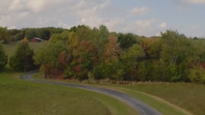
True to scale
An orthomosaic is corrected for lens distortion and terrain, so what you measure on the map matches what is on the ground. A single wide angle aerial cannot do that.


Start here
Look for one who treats the listing as a place rather than a list of rooms.
Most real estate media is priced and delivered like a commodity: a fixed shot count, a fast turnaround, next listing. On a standard three bedroom that is genuinely fine, and plenty of good people do it well. It stops being fine when the property is the selling point rather than the floor plan.
Nimble Dragon Studios is based in Monticello and works across Sullivan County, Orange County, Ulster County and the wider Hudson Valley, with listings in the New York metro area and northern New Jersey. Photography, drone aerials, 360 tours, listing video and property websites come from one team, so the look holds together across everything a buyer sees.
We are an award-winning production company that does real estate, not a real estate company that also shoots. Nine Telly Awards, a Platinum Hermes and a Gold Vega, mostly for work that had nothing to do with property.
Virtual staging
Buyers can't picture furniture in a bare room, so they scroll past it. Virtual staging fills the space photorealistically, for a fraction of the cost of hauling real furniture in. Drag the slider on each photo to see the difference.
Every staged image is delivered alongside the original, so your listing stays compliant with MLS disclosure rules.
Photo enhancements
Twilight conversions, seasonal fixes, and cleanups that make a listing look its best without a second trip to the property. Drag each slider to compare.
Most twilight conversions just paint the sky orange. We start with the listing's address, calculate where the sun actually sets at that location, and decide whether the house shows better at dawn or dusk. Then the shadows get rendered to match, and the house and its neighbors get lit, so every light source lands where physics says it should.
This one got the full treatment: the same sun-accurate twilight conversion, plus grass enhancement to bring a dormant lawn back to life. Dead grass in the original, green in the final, and no landscaper invoice or waiting for the yard to recover.
Cozy doesn't photograph at noon. An interior twilight lights the fireplace, turns the lamps on with realistic glow falling on their surroundings, and removes the harsh midday shadows. Buyers see how the home feels at the end of the day, which almost no other listing shows them.
Buyers can't see past open studs and bare subfloor. A photorealistic rendering shows the finished room, the cabinets, the flooring, the light, while the crew is still working. Both examples below were rendered from the actual construction photos.
Selling in February? We convert winter exteriors to spring, and on this one we did some yard cleanup while we were at it. The listing stops looking cold and dormant, and nobody has to come back and reshoot in April.
Pre-sell a build before the siding goes on. We turn a construction-phase exterior into a photorealistic rendering of the finished home, so the listing can go live months earlier.
Most AI decluttering is a beautification pass, not a removal pass: it takes out the boxes, then quietly refinishes the stained floor, smooths the ceiling crack, and swallows the outlets and floor vents along the way. We remove what's sitting in the room and leave the building itself alone. Defects stay visible, because a photo that hides condition costs you a showing when the buyer walks in, and can follow you into an inspection dispute.
For the listing with good bones that nobody can picture updated. We show what the space could become while keeping what's actually there, so the original features, the layout, and the character of the room stay recognizable. Buyers are looking at a possibility for this house, not a picture of a different one.
Enhanced photos are delivered alongside the originals, so your listing stays compliant with MLS disclosure rules.
Drone mapping
A drone photo shows a property. A drone map measures it. We fly a grid pattern over the parcel and stitch hundreds of overlapping frames into one geometrically corrected image, so distances hold up, property lines sit where they actually are, and a buyer can read the whole lot before they ever drive out to see it.
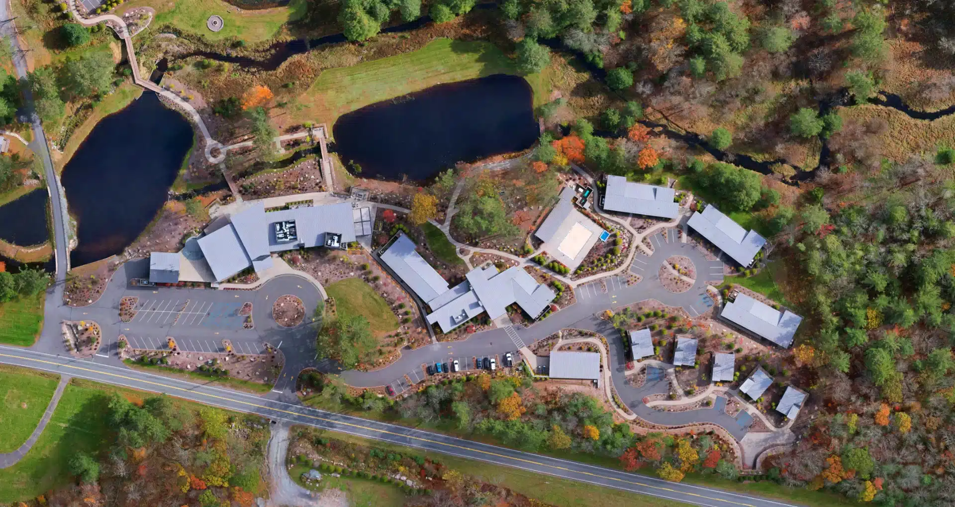
An orthomosaic is corrected for lens distortion and terrain, so what you measure on the map matches what is on the ground. A single wide angle aerial cannot do that.
Parcel boundaries drawn over the actual land, so a buyer sees exactly where the lot begins and ends instead of squinting at a survey sketch.
Lot size, cleared acreage, road frontage, and setbacks measured straight off the map. The listing says what the land actually is, and the back and forth gets shorter.
A 3D model of the site shows slope, drainage, and buildable area. Those are the first questions a land buyer asks and the last ones a listing usually answers.
Access roads, treelines, water, outbuildings, and what sits next door, all in one frame that a ground level photo would have to crop out.
Buyers who already understand the land show up interested. On acreage, farms, and raw lots, that is most of the work done before anyone gets in a car.
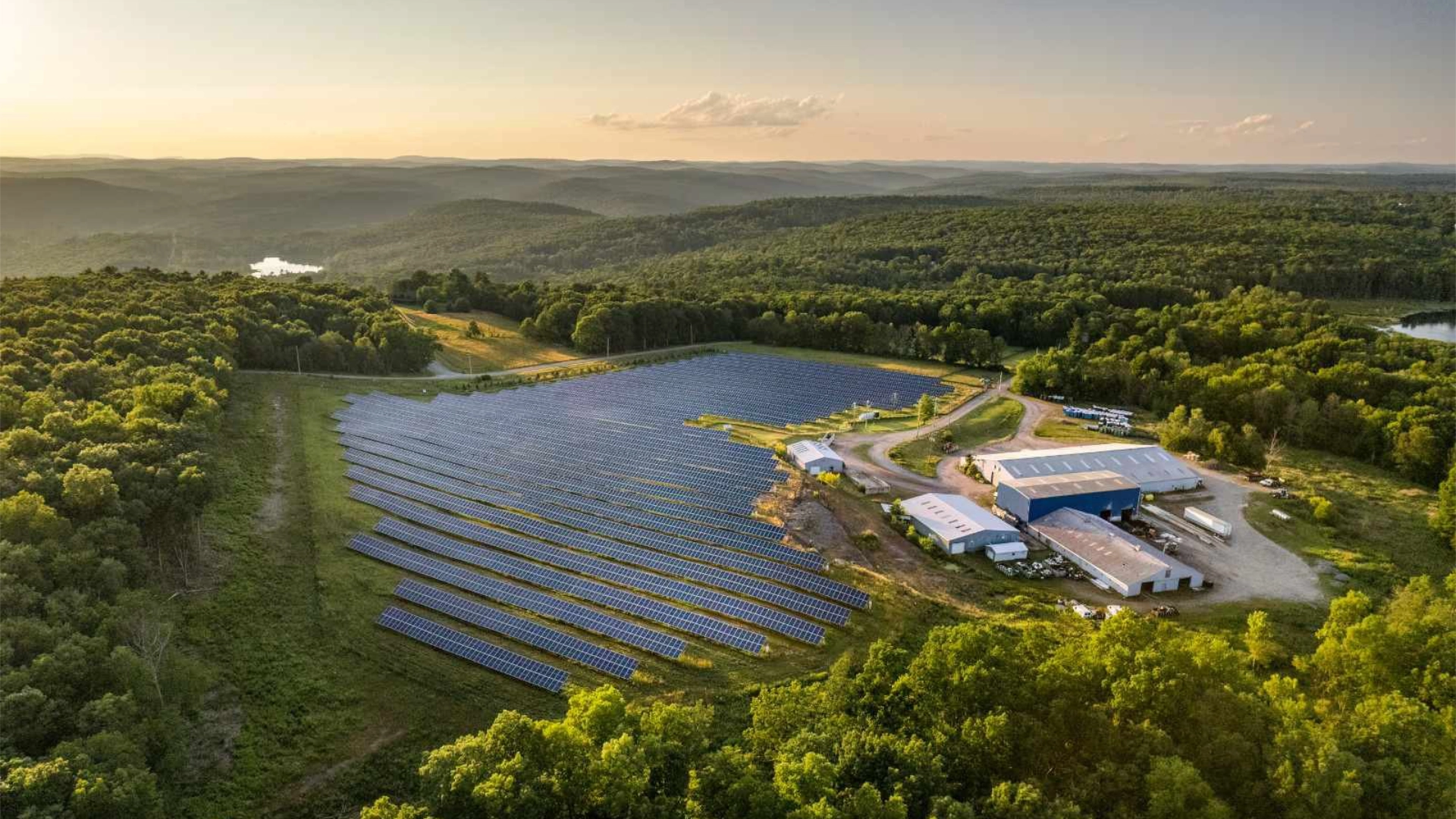
Best suited to land and acreage, farms and equestrian properties, waterfront, subdivisions in progress, and commercial sites. Every flight is run by an FAA licensed pilot. Mapping starts at $250 when bundled with aerial photography, with full pricing below.
Schedule a mapping flightMapping deliverables are marketing and mapping grade, intended for listing and planning purposes, and do not constitute a land survey.
Drone mapping, explained
Zoom into a drone map and you can count the fence posts. Satellite imagery holds a couple of feet per pixel. A drone map holds about an inch.
Read the answer →The pond, the frontage, the cleared meadow, all cropped razor sharp from a single map. See a real commercial property and the five detail shots pulled from one file.
See the gallery →Stitched aerials warp at every seam and tip the trees sideways. See the same property done both ways, and why one of them is measurable.
Spot the difference →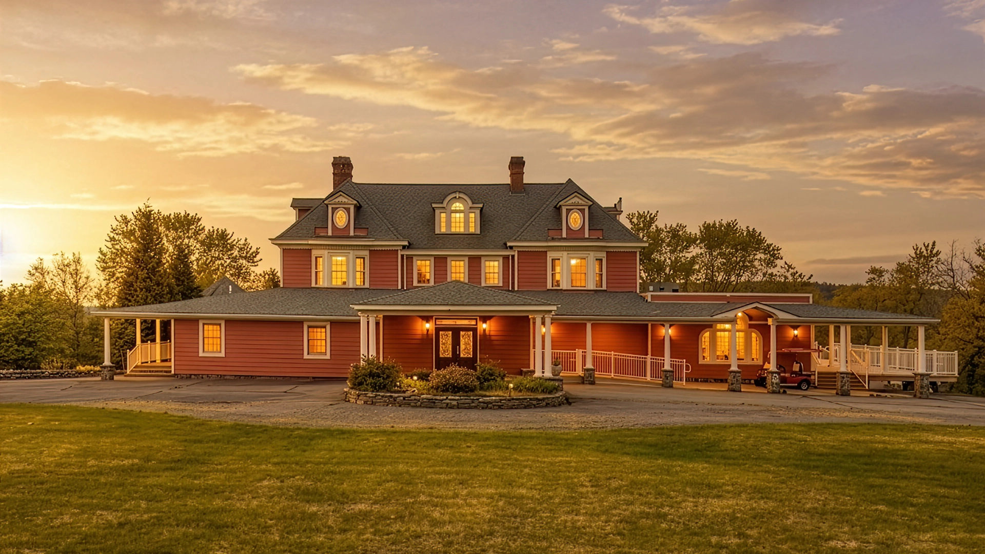
Longevity
Real estate photographers turn over about as fast as agents and insurance brokers do. Someone buys a camera and a drone, shoots for two seasons, and moves on. Every brokerage has a list of people who used to do their listings.
We work with several of the top brokerage teams in the area, and one of those relationships is now past fifteen years.
That is worth more than it sounds. A team that has used the same crew for fifteen years is not re-explaining how they like their listings shot, not chasing a new vendor every spring, and not discovering in June that the person who did last year's work has gone.
It also means the archive is ours together. Fifteen years of listings, shot consistently, in one place.
Worth the drive
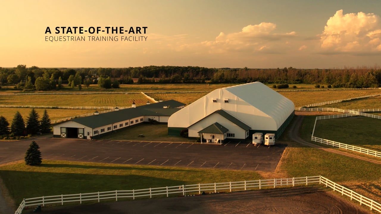
A brokerage here in Middletown picked up a listing near Buffalo: a 40 acre horse farm that needed a video tour and stills. The property is roughly six hours from our office and theirs, and there are dozens of real estate shooters within twenty minutes of it.
They paid for the drive, the overnight hotel and two travel days rather than hand it to somebody local to the property.
Real estate video is the most commoditized thing anyone in this business sells. Every market has someone with a drone and a gimbal, and on a normal listing that is genuinely enough. Subcontracting to a local shooter would have been cheaper, faster and completely normal.
Forty acres, barns, paddocks and a house is not a three bedroom colonial. It is a place, and a buyer has to feel what it would be like to live on it. When the listing actually matters, brokerages stop shopping for the nearest camera and start thinking about who they already trust.
Questions